Land staking
Transferring the boundary recorded in the cadastre onto the ground and marking it with stakes or boundary markers.
When you need this service
- You are about to build a fence and need to know exactly where the boundary runs.
- The boundary is not visible or marked on the ground.
- You are buying land and want to verify its actual extent.
- You and a neighbour disagree about a shared boundary.
What we need from you
- The cadastral area and parcel number.
- Which boundaries to stake — the whole perimeter or a single side.
- Owner contact details and access to the land.
- Whether the boundary is disputed, or this is simply a marking exercise.
How the process works
- 01
Cadastral records
We obtain and check the available cadastral documentation for the parcel.
- 02
Calculating the setting-out data
We compute the coordinates of the boundary’s turning points.
- 03
Staking on site
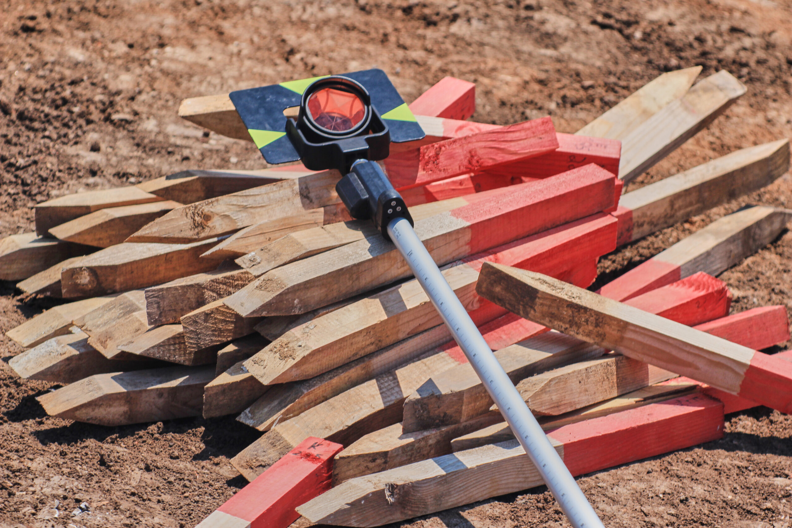
We transfer the points to the ground with survey instruments and mark them with stakes or boundary markers.
- 04
Inviting affected owners
Where the nature of the work requires it, we also invite the owners of neighbouring plots.
- 05
Setting-out sketch
We produce a record and a sketch documenting how the boundary was staked.
What you receive
- The boundary marked on the ground with stakes or boundary markers.
- A setting-out sketch and record.
- A digital copy of the documentation.
What affects the price
- The number of turning points to be staked.
- The length and complexity of the boundary.
- The quality and age of cadastral documentation for the area.
- Site access and how overgrown the ground is.
We do not set prices for surveying and cartographic work ourselves — we follow the current price list of the Chamber of Surveyors and Cartographers of the Slovak Republic. We confirm the specific price for the agreed scope before any work starts. Open the KGK SR price list
Related services

Contact
Tell us what you are dealing with
Send the basics. We will come back with the next step.