About us
A family surveying practice
A family practice built on experience, accuracy and personal contact.

How we got here
The foundation is simple: surveying work and three generations of experience.
Family continuity helps with older records and local knowledge.
Continuity
Three generations
Different equipment, the same responsibility for the result.
- 01First generation
Foundations of the family practice
- 02Second generation
Digital processing
- 03Current generation
Modern measurement and personal contact
How we work
What we care about
Clear process, accurate measurement and honest recommendations.
We explain what we are doing
Technical terms are unavoidable in documentation, not in conversation. We explain what is needed and why, even if you are not from the field.
We say when you do not need something
If your situation does not call for the service you asked about, we will tell you. Unnecessary work serves nobody.
We flag the limitations
With older cadastral records, the uncertainty in the documentation can exceed the uncertainty in the measurement. We always say so in advance.
We stay reachable after handover
If a question comes up at the authority about our documentation, call us. We do not send you elsewhere.
Team
Who you will be speaking to
The same person handles your job from start to finish. You are not passed between departments.
Equipment
What we measure with
Equipment is a means, not an end. We always list it alongside what it gives you.
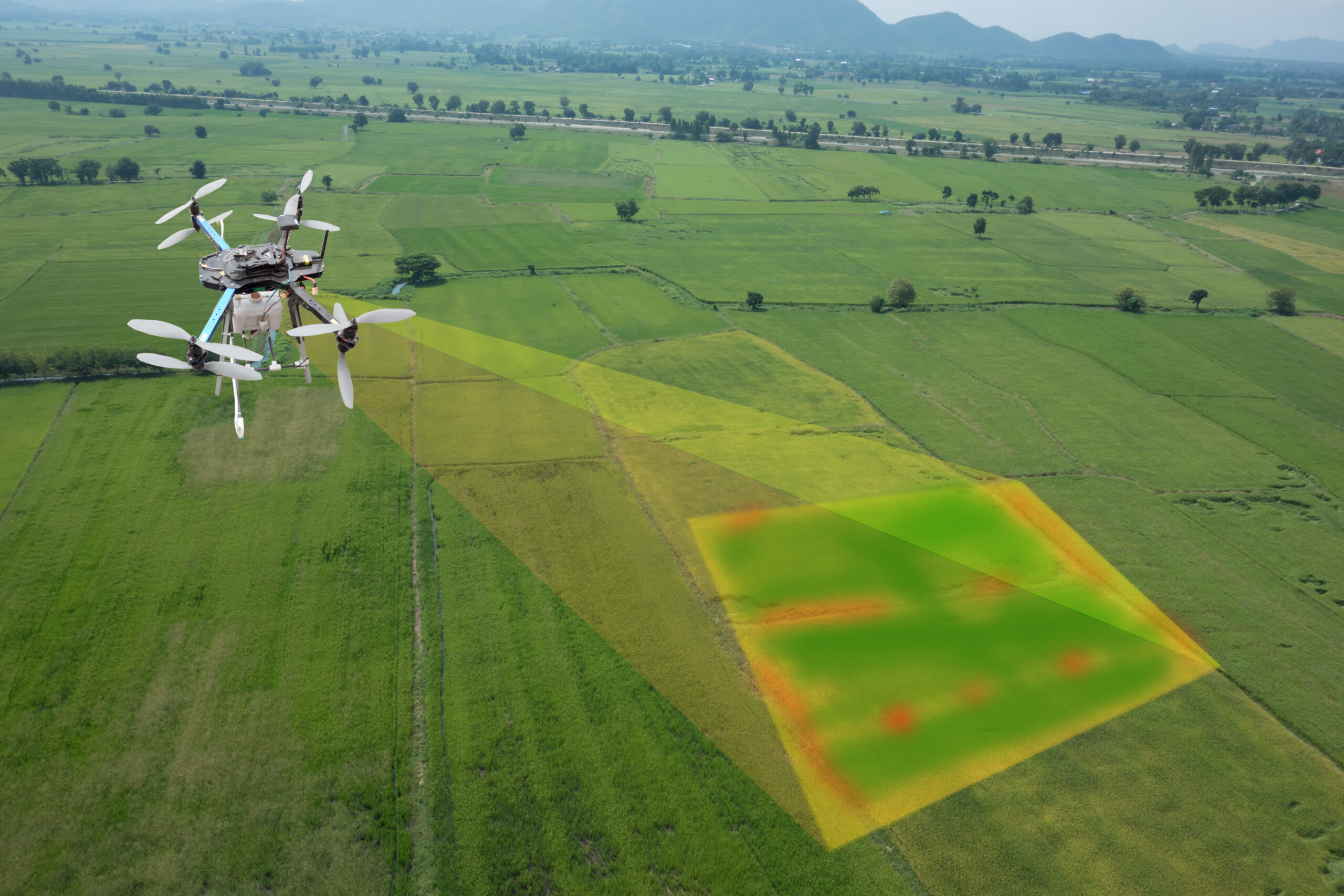
GNSS receiver
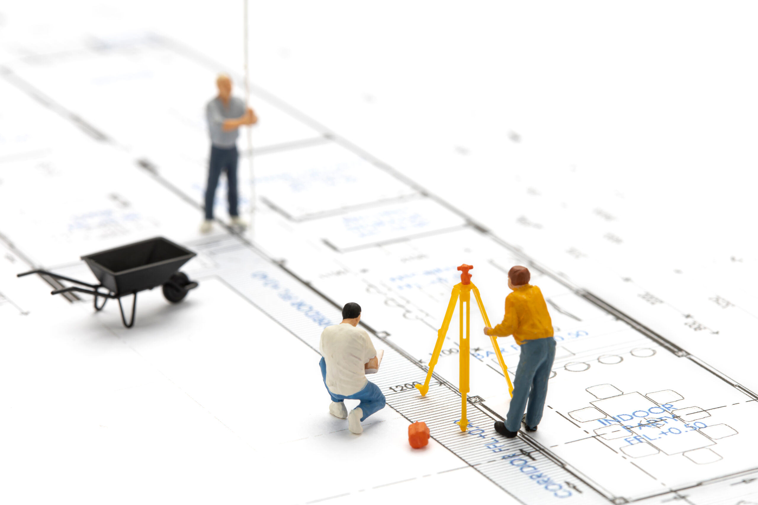
Total station
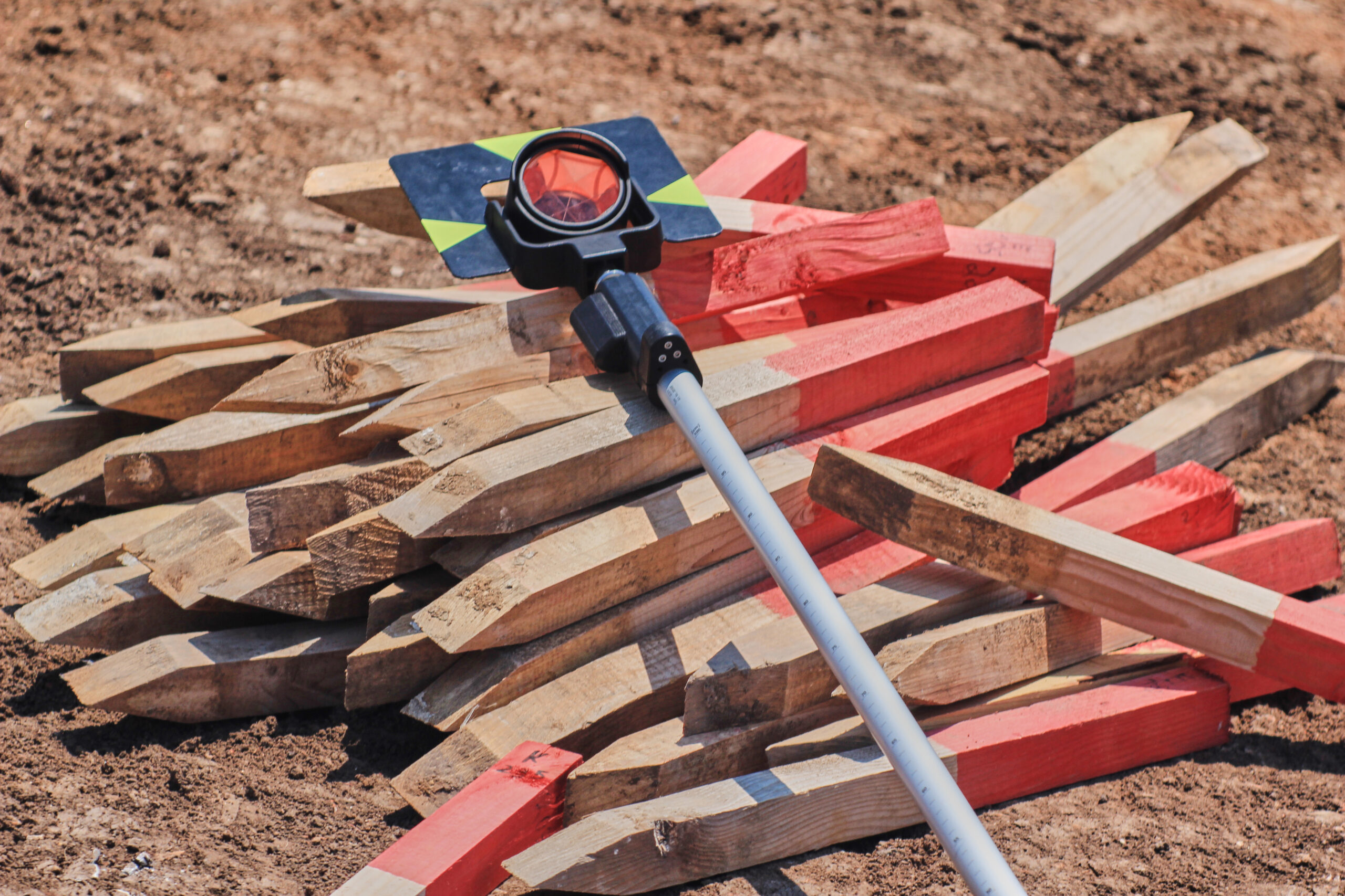
Levelling instrument
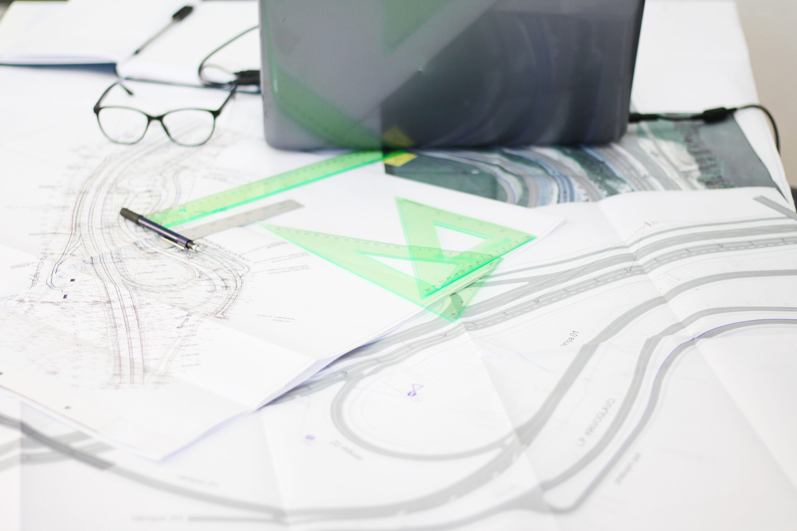
Processing software
Qualifications
Professional standing
We publish details of professional standing only once confirmed. In this field, an inaccurate claim about authorisation is more serious than a missing one.
Prices for surveying and cartographic work follow the current price list of the Chamber of Surveyors and Cartographers of the Slovak Republic. Open the KGK SR price list
Where we work
We deliberately do not list dozens of municipalities. We name only the area we genuinely serve and where we know the local cadastral records.
Contact
Tell us what you are dealing with
Send the basics. We will come back with the next step.